River Clady Restoration Project
Surveying the River Clady
A survey of the River Clady was undertaken to assess the ecological condition of the river and identify potential pressures and threats to the river and surrounding habitat contributing to its poor ecological status. The survey and resulting River Habitat Assessment report were undertaken by ID Environmental Consultants on behalf of the Boyne Rivers Trust.
Continue reading below for extracts from Report and next steps in the project.
The Boyne Rivers Trust would like to thank the team at ID Environmental Consultants for their incredible work in conducting the survey and producing detailed reports.
Background
The River Clady is a tributary of the Boyne River, and extends from Bohermeen, down through Dunderry, before joining the Boyne near Bective, in County Meath. Agriculture accounts for the primary land use in the surrounding area.
The Clady has been assigned an ecological status of Poor, and is at risk of not meeting environmental objectives of the Water Framework Directive (EPA, 2024).
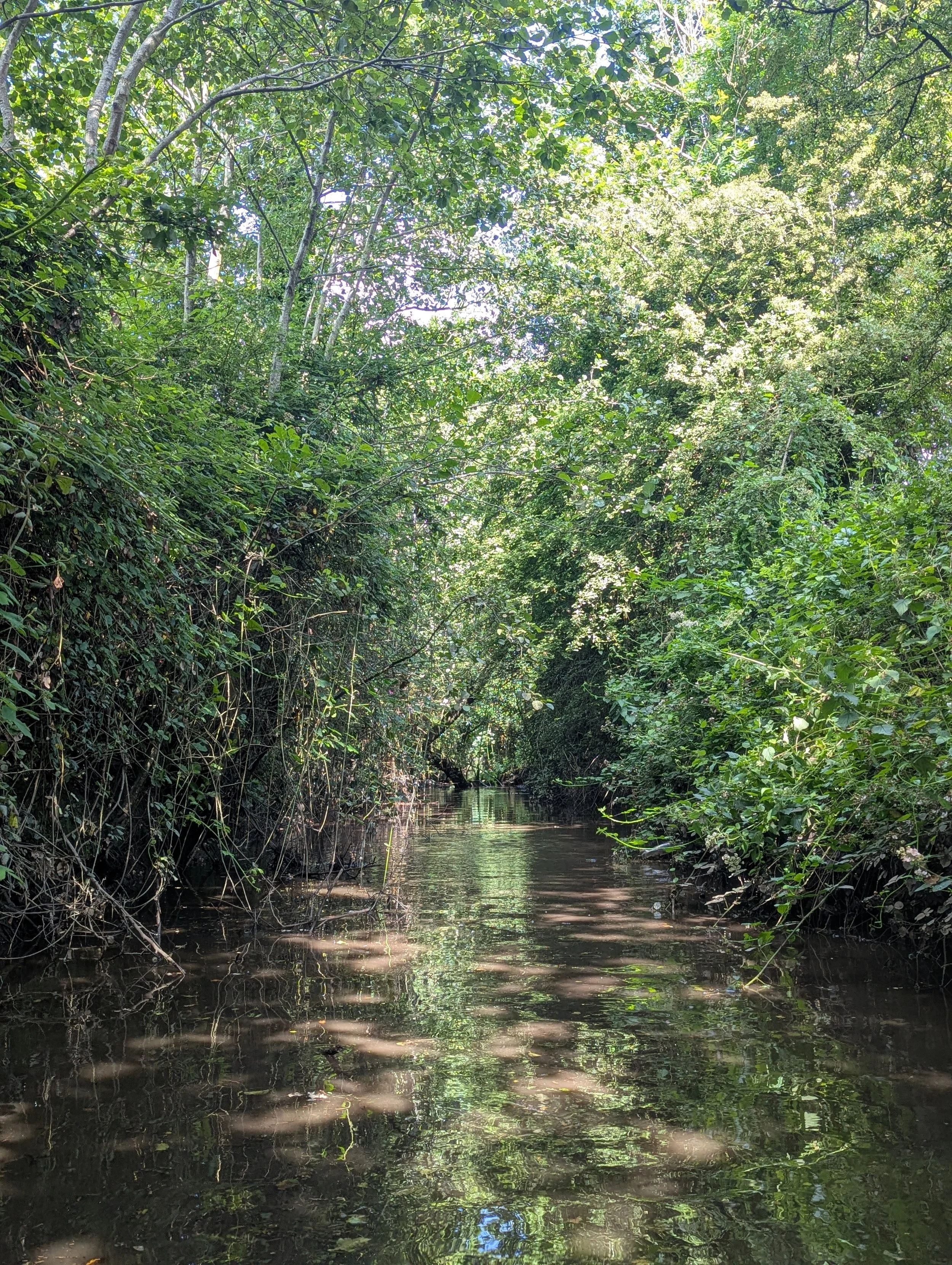
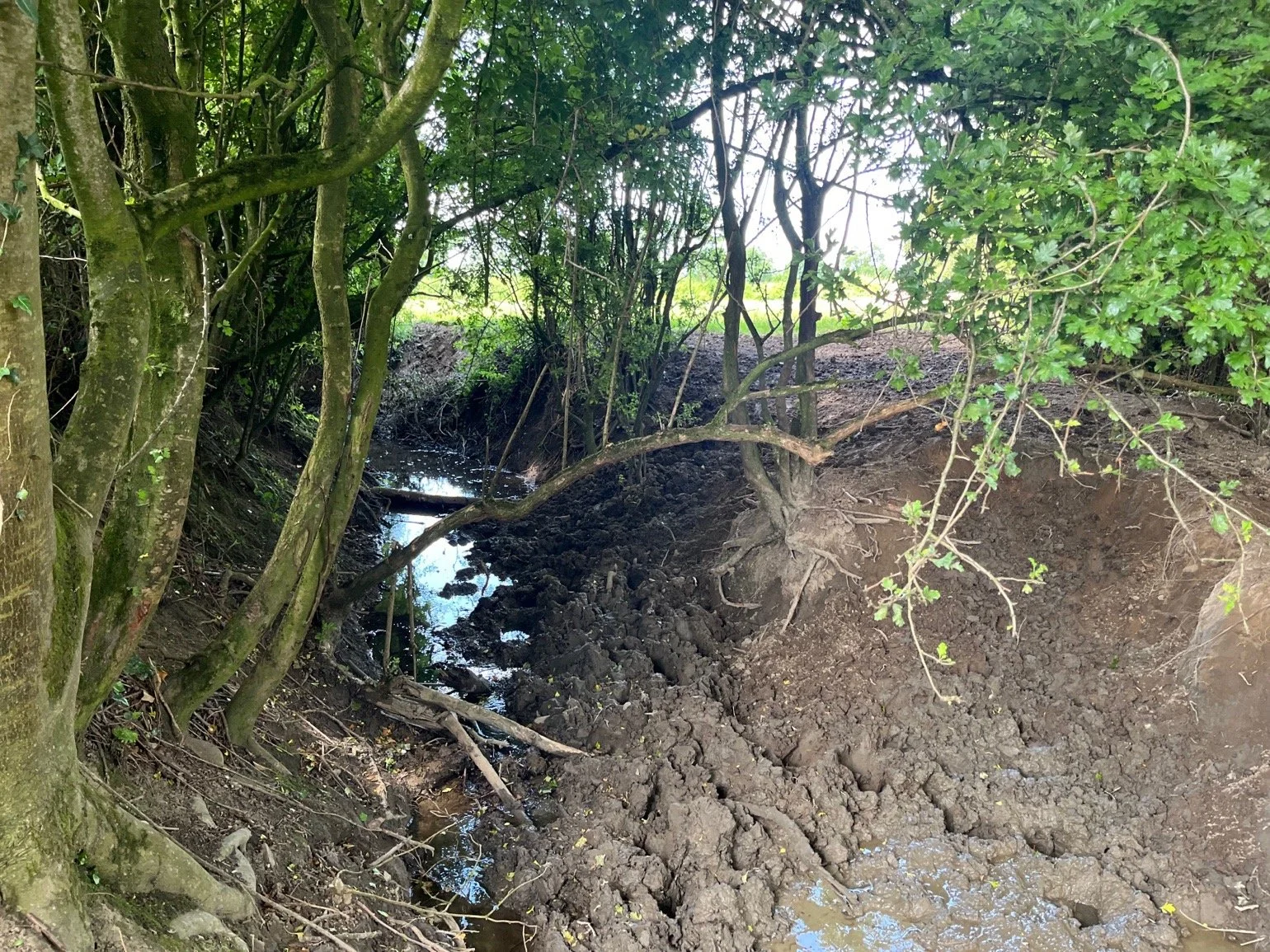
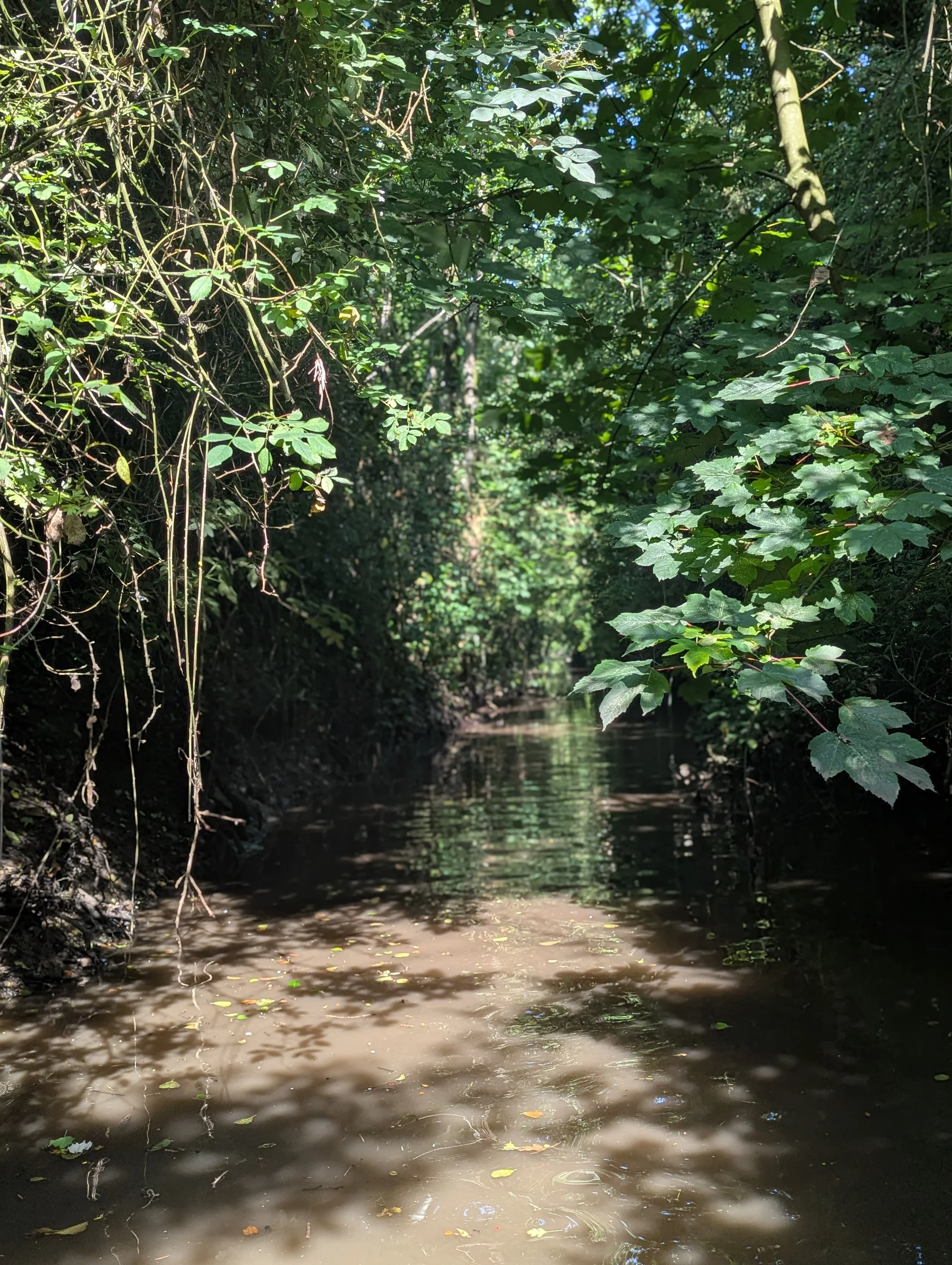
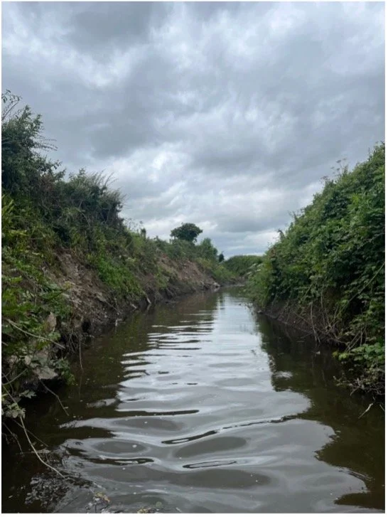
The River Clady is a highly modified system, with many areas of riparian (riverside) habitat fragmented, degraded or absent, and sections of the channel with severely reduced flow, due to historical and ongoing channel modification, canalisation and bank clearance.
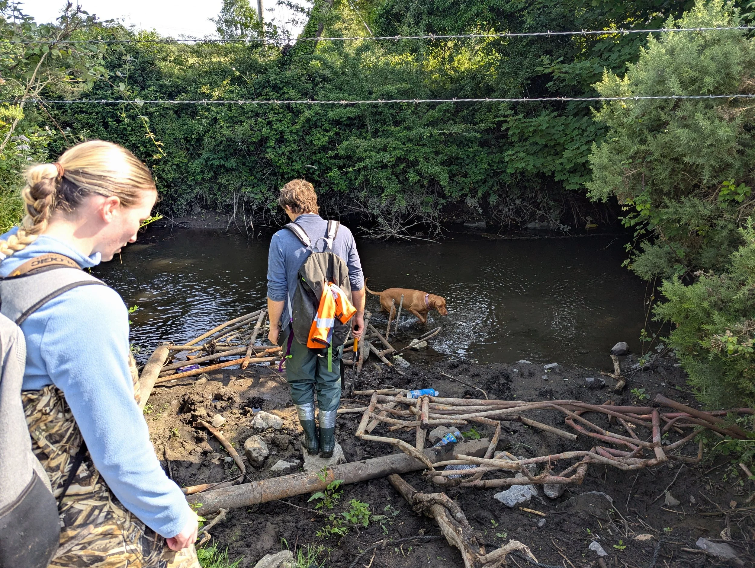
Ecological Survey
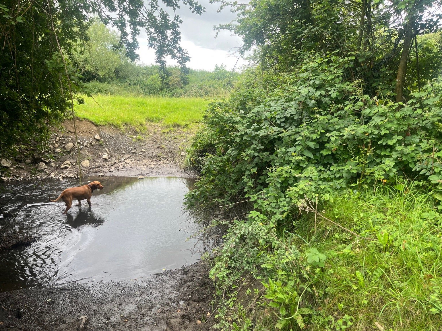
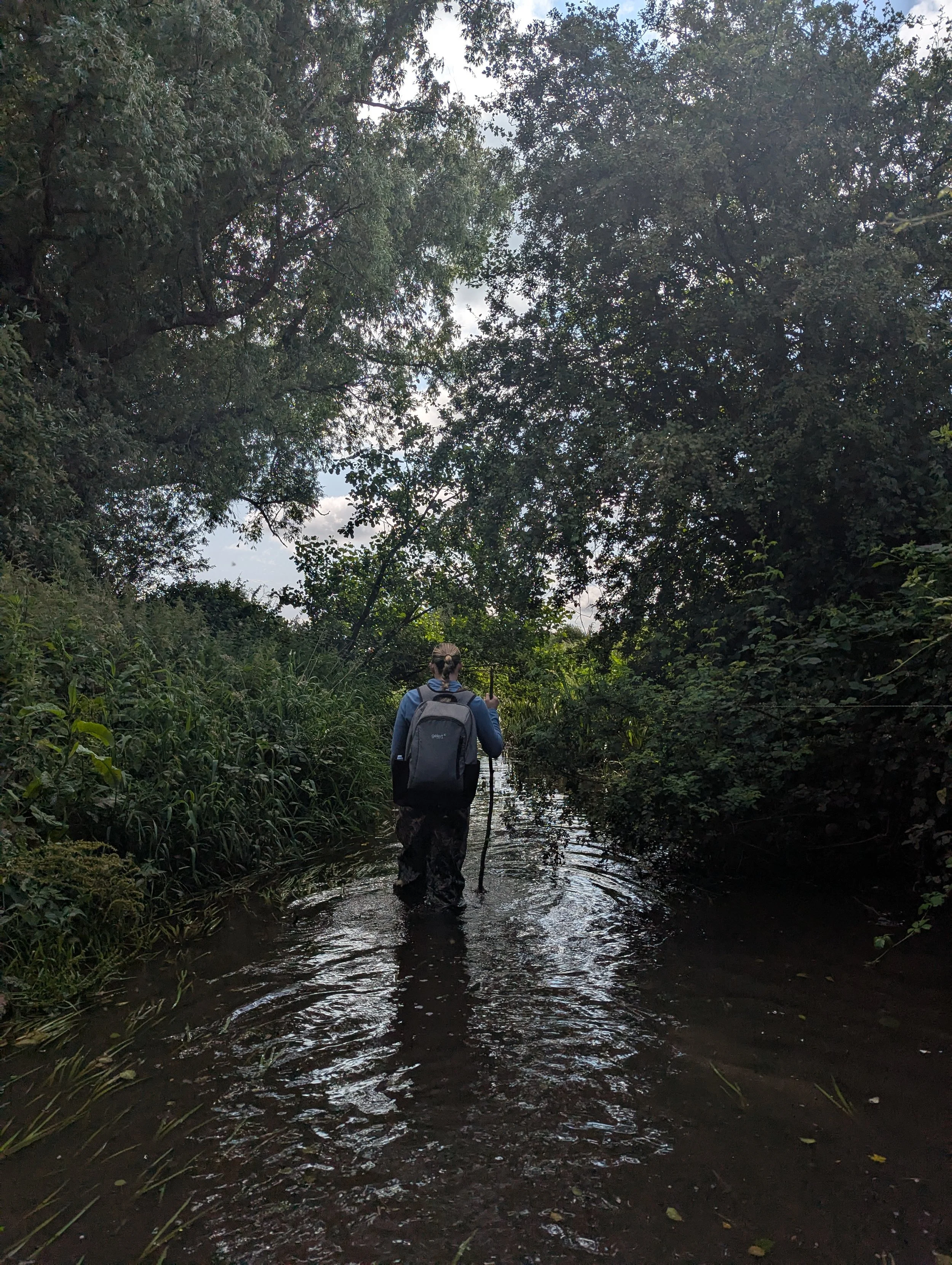
The survey extended from the upper headwaters near Jamestown Bog to its connection with the River Boyne near Bective Abbey, involving walkover surveys, bank habitat classification, and species recording, following established River Habitat Survey (RHS) protocols and the River Habitat Assessment Toolbox (RHAT) guidelines.
Bank habitat assessments included recording vegetation type, condition, and continuity, using the Fossitt (2000) habitat classification where applicable. Channel characteristics such as flow type, substrate composition, and modifications or obstructions were documented, alongside key ecological receptors (KERS), including evidence of protected species (e.g., otter, kingfisher), invasive species, and other notable flora or fauna.
Potential pollution sources, such as drainage pipes, agricultural runoff, and livestock access points, were mapped and described.
Threats to the River Clady
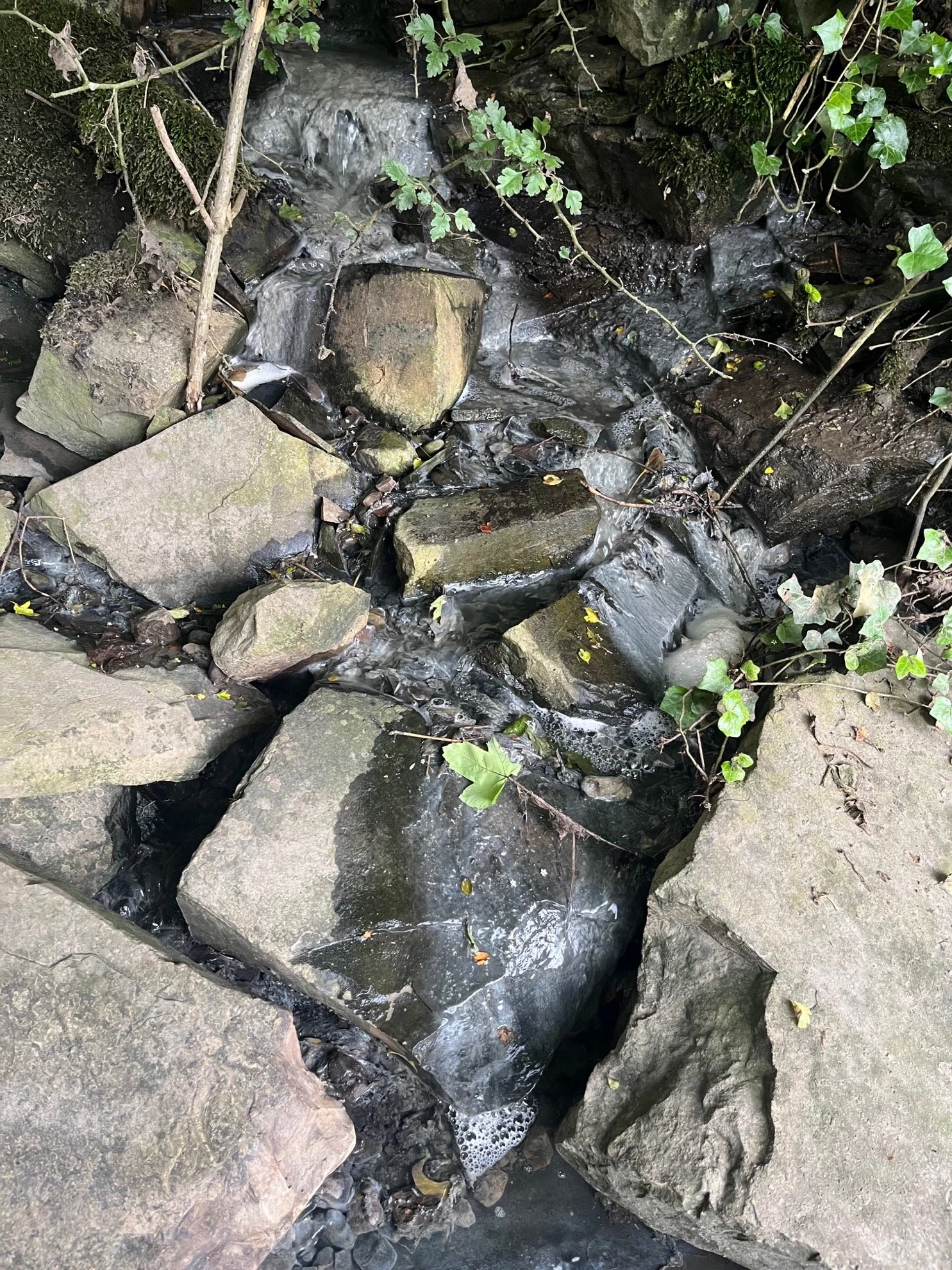
The River Clady has multiple pressures, resulting in bank erosion, siltation of the river, nutrient enhancement, lack of appropriate habitat for fish and mammals, and chemical pollution.
Hydrological modifications including canalisation, bank steepening, and flow diversions, have led to reduced habitat complexity and altered flow dynamics with a lack of natural river morphology.
Flow patterns were generally smooth to glide, with reduced natural pool-riffle diversity, particularly in canalised or diverted sections contributing to siltation.
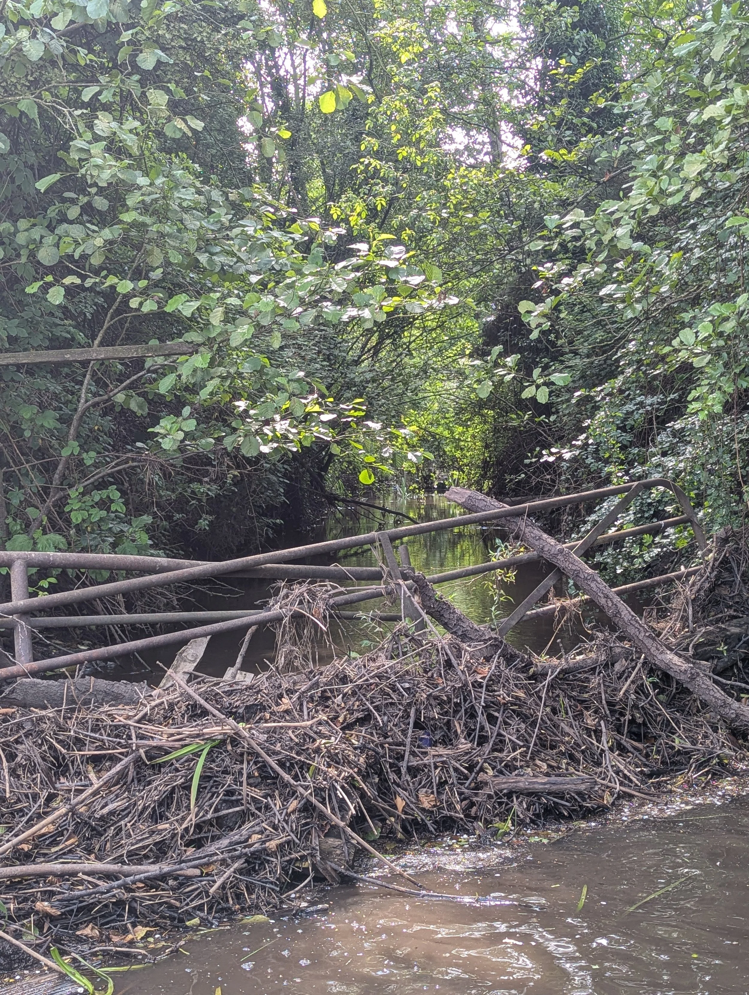
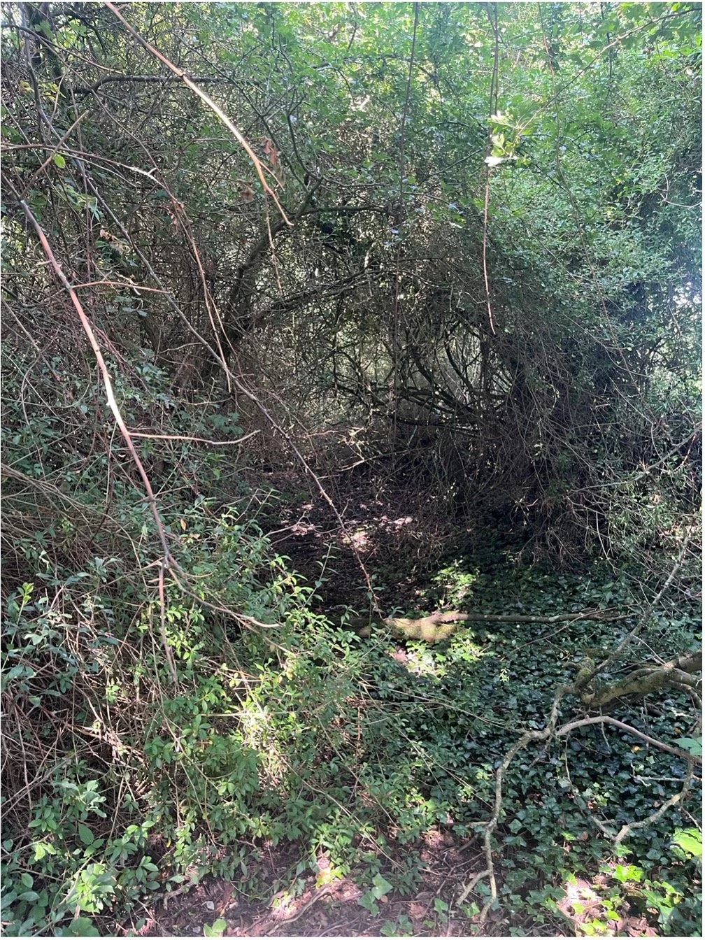
Obstruction of river flow from encroaching overgrown vegetation and man-made barriers accumulating debris and litter.
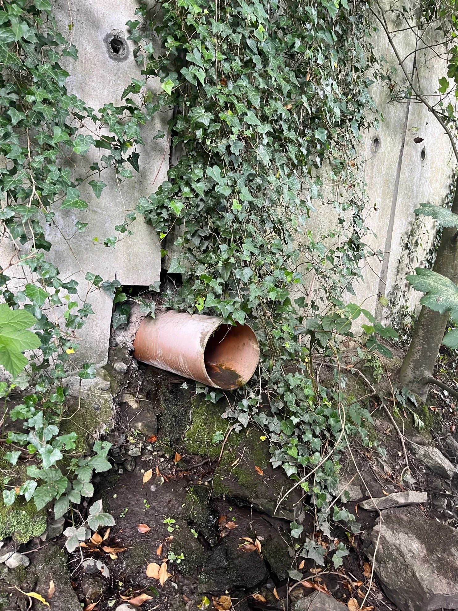
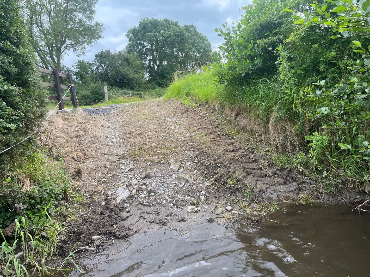
Pollution sources, such as greywater inputs, drainage pipes, and informal vehicle crossings, contributing to potential nutrient enrichment, sediment deposition, and habitat degradation.
Unprotected banks and a lack of setbacks or buffers from adjacent land uses in many stretches along the river course.
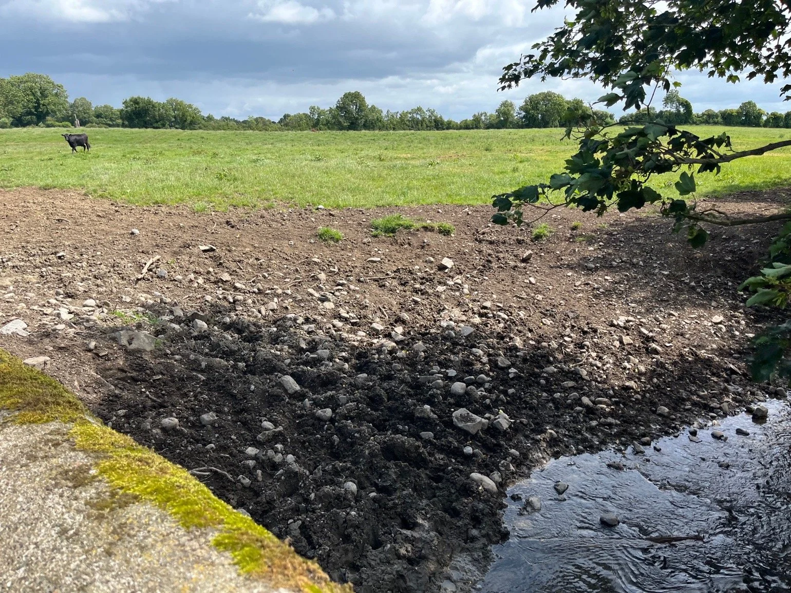
Direct livestock access to the river causing bank erosion, poaching, and siltation.
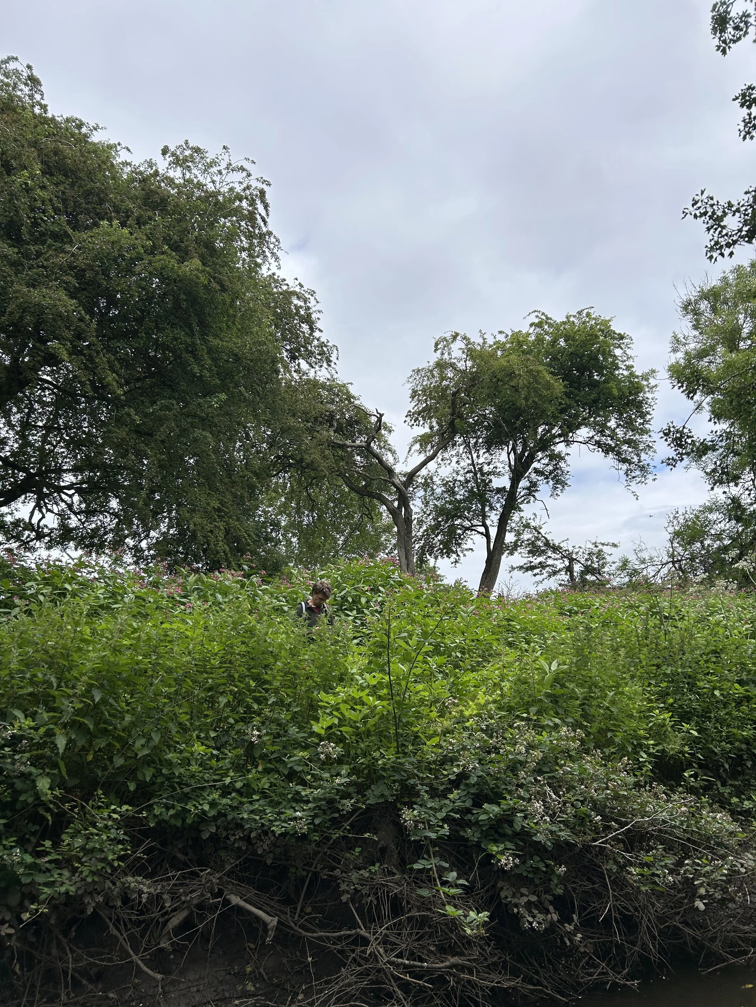
Invasive species, including Himalayan Balsam (Impatiens glandulifera), Cherry Laurel (Prunus laurocerasus), Snowberry (Symphoricarpos albus), Dogwood (Cornus spp.), and Old Man’s Beard (Clematis vitalba), which threaten native biodiversity and riparian vegetation structure.
Photos with thanks to IDEC.

Protected Species
River Boyne and River Blackwater SAC and SPA
The Boyne is part of the River Boyne and River Blackwater SPA and SAC, with protection status in place for the Kingfisher (Alcedo atthis), River Lamprey (Lampetra fluviatilis), Salmon (Salmo salar), and Otter (Lutra lutra), as well as habitats including Alkaline fens and Alluvial forests. It is also a designated Salmonid River.
The River Clady joins the Boyne near Connells Cross in Bective, and as such the pressures identified in the survey of the River Clady have the potential to impact the downstream SAC and SPA.
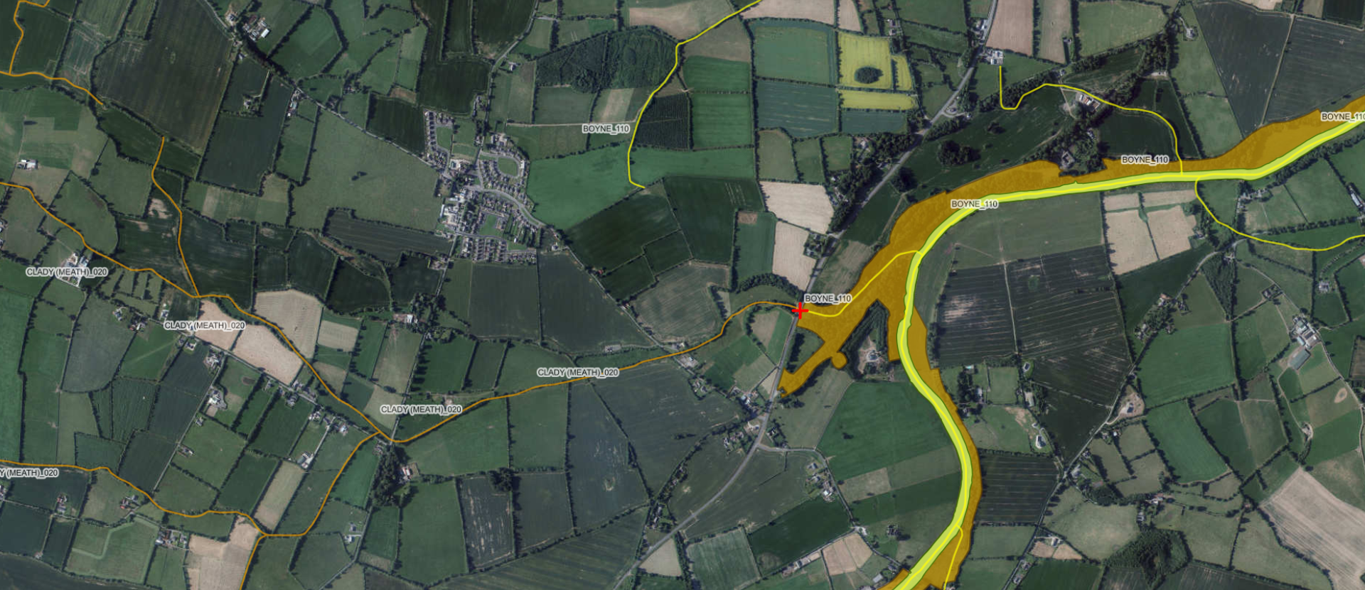
This EPA map indicates at the red ‘+’ symbol where the River Clady joins the Boyne, with the highlighted areas illustrating the SPA in yellow-green and the SAC in orange-brown.
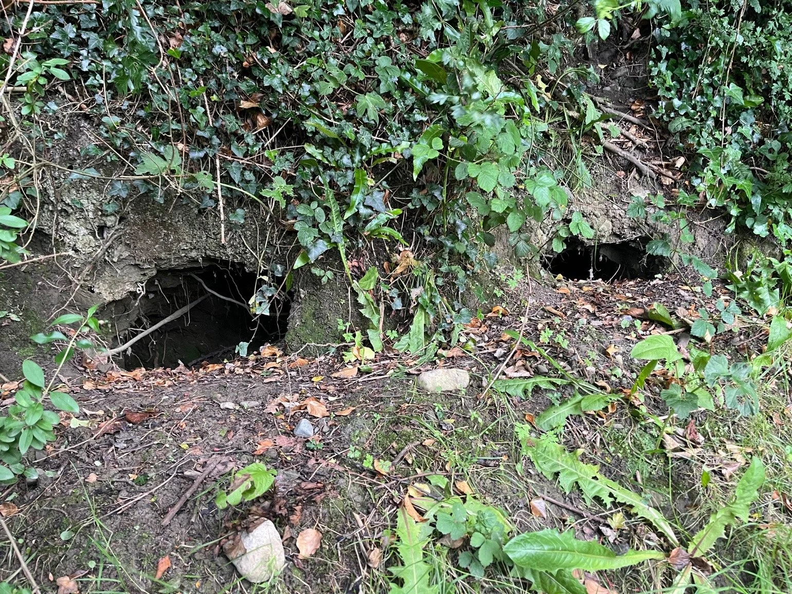
Evidence of Protected Species on the River Clady Survey
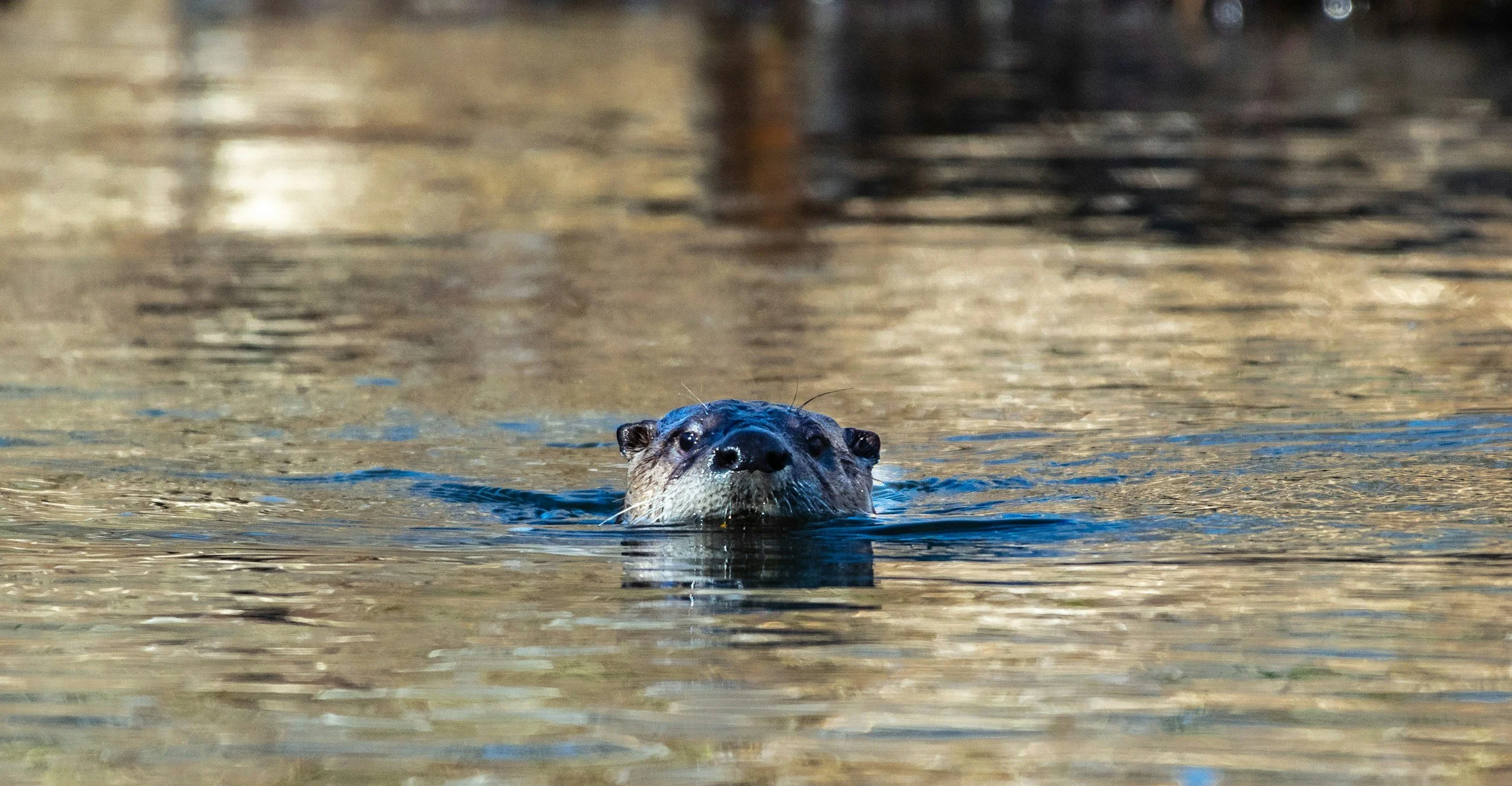
The presence of Otters (Lutra lutra) was evidenced by otter dung, feeding remains, slides (pathways to river), and above- and below-ground nesting areas.
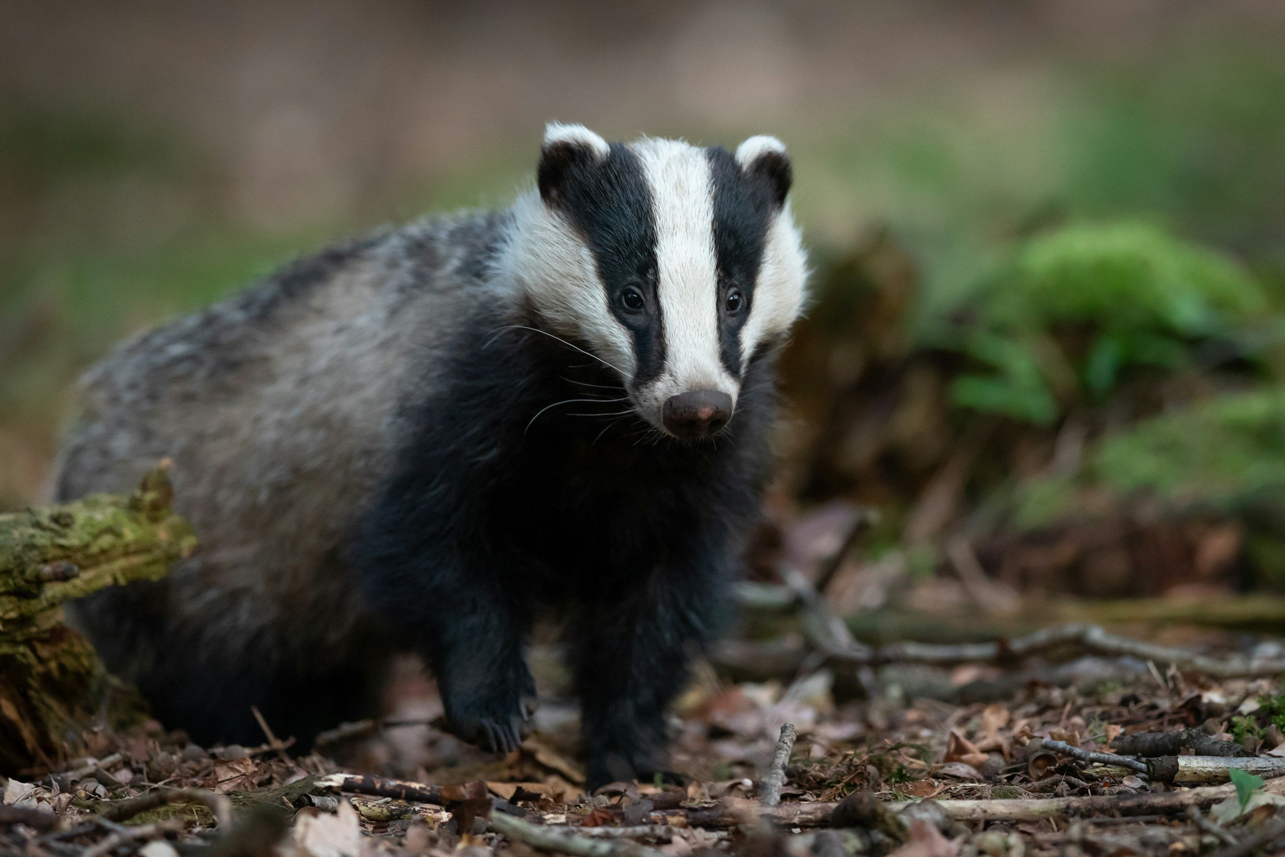
Two separate badger (Meles meles) setts were identified during the survey.
Next Steps
The results of the survey are shaping planning of interventions, including:
Development of a detailed plan of interventions in collaboration with ecologists at IDEC.
Youth Awareness events on the footballs polluting the river.
Landowner engagement and water-friendly farming advice.
Riparian tree planting.
Himalayan Balsam removal events.
Community awareness raising and engagement.
With thanks to our Funders
Registered Charity Number (RCN): 20044886